
Cherokee Hiking Club
198 Crews Drive, Benton, TN 37307
Laurel -
Snow Pocket Wilderness Dayhike
Saturday, December
8, 2012
Brief Description:
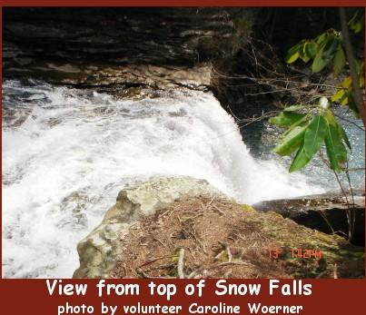
We will hike approximately 8 miles in the Laurel-Snow Section of the Cumberland Trail near Dayton, TN. Depending on the weather and the wishes of the hikers present, we will combine either Laurel or Snow Falls with the fantastic vista of Buzzard Point in a hike throughout the Richland Creek Gorge. The trail contains nice cascades along Richland Creek, the entrance to Richland Mine, impressive rock formations and the great overlook at Buzzard Point which looks back over the Tennessee Valley.
The hike does involve a moderately tough climb to the top of the gorge and rocky terrain. Combined with the length of the hike I rate the hike as strenuous. If we choose the Snow Falls hike option it does involve a creek crossing of Morgan Creek. For more information you can go to www.cumberlandtrail.org/laurel-snow.html.
Length: 8.0 miles
Difficulty Rating: Strenuous
Elevation Gain: 1000 feet
Hike Leader: Please call Randy Morris at 423-650-0485 no later than 8 p.m. Friday, December 7 if interested in attending for more details.
Other Useful Links: http://www.state.tn.us/environment/na/natareas/laurelsnow/
http://www.cumberlandtrail.org/laurel.html
http://www.williamson.to/Outdoors/LaurelSnow/index.htmlDirections to the Trailhead: Call Randy
Post Trip Report:
Contact the Webmaster