
Cherokee Hiking Club
198 Crews Drive, Benton, TN 37307
Unicoi
Turnpike Trail Dayhike
Sunday, October 28,
2012
Hike Leader: Marc Bernatti 423 261-2573
Hike Rating: easy
Hike Distance: 3 easy miles, ‘downhill’ (with a car shuttle). Kids and pets are welcome.
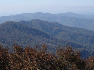
Hike Description: The hike takes place around the vicinity of Coker Creek, TN. It will start up at the Unicoi Gap (TN/NC border) on Joe Brown Highway and follow down a centuries-old travel route, ending back out on Joe Brown Highway. At the start, just where this trail veers off from the Benton MacKaye Trail, the deep wagon ruts and piled stone “walls” visibly define the historic trail that was later built as a toll road. This route through the Gap, the lowest point across the Smokies in this region, was used by man for hundreds of years to cross over these mountains. The Spanish explorer DeSoto is believed to have traveled through it in the 1500’s, and it was also the route used to move the Creeks that were rounded up for their relocation to Oklahoma. Later, it was used to remove the Cherokees from NC and GA; it is now recognized as part of the Trail of Tears.
On the way down, hikers will pass the general area where a turnpike toll booth was located, a Civil War era grave of a bushwhacked man, the site of the CCC (Civilian Conservation Corps) Camp Rolling Stone, and cross over an old gold mine dug into the hillside. The adventurous can try their luck at striking it rich by crawling into the narrow and dark mine opening, since the bears haven’t started their hibernation yet.
Depending on the number of participants, we may be able to carpool from the Coker Creek Welcome Center/Post Office. We will work out a “shuttle” arrangement with a car or two parked at the bottom trail take out and another to take us up to the Gap.
For those wanting a warm up before the hike or a little cool down stroll afterwards, there is a short level walking loop along Coker Creek at Doc Rogers Field. That is located near the beginning of Joe Brown Highway where it veers off Highway 68. The Doc Rogers Field entrance road is a few hundred yards on your left, south of the Coker Creek Welcome Center/Post Office.
Directions to the Coker Creek Welcome Center/Post Office from Cleveland: head east on Highway 64 through the intersection with Highway 411 at Ocoee; continue quite a ways past Parksville Lake/Lake Ocoee on the right until you get to Ducktown. From downtown Cleveland, this is around 36 miles. Then from Ducktown go about 20 miles north on Highway 68. Total distance is about 60 miles and takes about 1.5 hours to drive.
Directions to the Coker Creek Welcome Center/Post Office from Tellico Plains: travel 10 miles south on Highway 68.
All parties will meet at the Coker Creek Welcome Center/Post Office on Highway 68 (Monroe County mile marker 34) at 2:00 p.m. If you need to make a cell phone call, make it before leaving Ducktown or Tellico Plains. There is no reliable cell signal outside of these locations.
Please bring a snack and enough to drink. Kids and pets are welcome.
If interested, contact Marc Bernatti at 423-261-2573
Post Trip Report:
Contact the Webmaster