
Cherokee Hiking Club
198 Crews Drive, Benton, TN 37307
Starr
Mountain Dayhike
Saturday, May 15, 2010
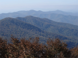
Brief Description: There will be approx. a ¼ mile walk up to the trail head. We will hike out the top of Starr Mountain to where the trail starts the decline and have lunch and then return to the parking area. Most of the hike will be near the top of Starr Mountain and
we should see some wild flowers and view of Etowah and the Tennessee Valley. We can use a car shuttle if anyone wants to hike all of the Starr Mountain Trail or the Chestnut Mountain Trail for the decline. Bring lunch & plenty of water.
Length: 5 miles
Difficulty Rating: Easy to Moderate
Elevation Gain: <200 feet elevation rise
Hike Leader: Clayton Pannell, 423-263-9730.
Directions to the Trailhead: Meet at the junction of Hwy 411 and Hwy 30 in the large parking lot across Hwy 30 from the Hiwassee Corner Market at 9:00 a.m. We will car pool to the top of Starr Mountain and park near the trail head.
Post Trip Report: With the weather report calling for rain, only three people showed up at the meeting place for the hike on Starr Mt. And no one to do one of the longer hikes. The group decided to change our hike and we hiked off trail in the Gee Creek Wildernesss, (Only three people are allowed in a group off trail in the wildernesss). We hiked in about 2.5 miles and had lunch at a spring and area that had been used as a camping site. After lunch we followed our route back to the vehicle. The mountain laurel was in bloom and Jane found a “Little Brown Jug” flower. The hikers were Jane Bohannon, Lettie Burres and Clayton Pannell, hike leader. Thank you, Jane Bohannon, for the picture shown below, featuring Clayton and Lettie.
Contact the Webmaster