
Cherokee Hiking Club
198 Crews Drive, Benton, TN 37307
Metcalf
Bottoms Dayhike
Saturday, December 5,
2009
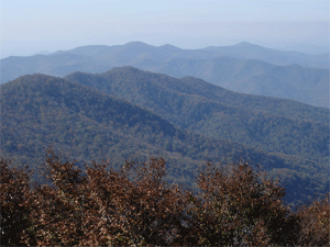
Brief Description: This hike will be a 9.2 miles and involve three trails and a 10 mile car shuttle in the Great Smoky Mountains National Park. We will begin in the Metcalf Bottoms Picnic Area, cross the road and begin our ascent on the Curry Mountain Trail. We will gain approximately 1,200 feet over the 3.3 miles of the Curry Mountain Trail and enjoy great views of Cove Mountain and later Sugarlands Mountain and Mt. LeConte in the distance if weather conditions cooperate. We will then connect with the Meigs Mountain Trail for 1.9 miles to the Lumber Ridge Trail for 4 miles—descending approximately 1,200 feet into Tremont and the other end of our shuttle. The Meigs Mountain and Lumber Ridge also afford some great winter-time views. We will also take a short detour to the Huskey and Ownby family cemetery along the way. Total elevation gain is about 1,500 to 1,600 feet. All stream crossings are easy rock-hops unless there have been torrential rains just before the hike. I am rating this hike as moderately strenuous to strenuous based on the climbs and length of the hike. The trails are in great shape and the ascent and descent of the ridges are long and steady. We will have dinner on the return trip in either Townsend or Maryville.
Leader: Randy Morris – Tel 423-338-9464 or work 423-472-6587
Difficulty: moderate
Elevation Gain: minimal, mostly downhill
Length: 9.2 miles
Directions to the Trailhead: We will leave from Cleveland. Call Randy Morris at 338-9464 for the meeting location and time of departure before 9:00 p.m. Friday, December 4.
Post Trip Report:
Contact the Webmaster