
Cherokee Hiking Club
198 Crews Drive, Benton, TN 37307
Dry Pond
Lead Dayhike
Section 12 of Benton MacKaye Trail
Saturday, December 6, 2008
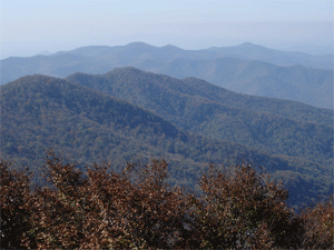
Brief Description: We will hike part of Section 12 of the Benton-MacKaye Trail—commonly known as the Dry Pond Lead Trail— for a total mileage of approximately 9 miles. There is in excess of 1700 feet of elevation gain within the first 4 miles so I am rating this hike as strenuous. There are normally great winter views of Brock Mountain, the Ocoee Gorge and sometimes Big Frog Mountain on this trail which meanders along the NW boundary of the Little Frog Mountain Wilderness Area for much of the hike.
Leader: Randy Morris, 423-338-9464
Difficulty: strenuous due to the elevation gain and length
Elevation Gain: 1700 feet in the first 4 miles
Length: about 9 miles
Directions to the Trailhead: We will meet at Hardee’s in Ocoee at 8:30 a.m. for the trip up the gorge to the parking lot at Thunder Rock Campground to begin the hike. If interested in attending, please call Randy by Friday evening, December 5 at 338-9464.
Post Trip Report: Four hikers made the approximate 1700 foot climb along the edge of the Little Frog Wilderness Area on a cold late fall day. The weather though cold was quite nice with great views of the surrounding mountains including Big Frog which had snow on the uppermost heights. After lunch near the wildlife clearing, the group decided to “bushwhack” to near the top of Little Frog and see if we could follow the old trail we had hear about. We did find some remnants of a trail and an old logging road and proceeded to the top of the mountain where we were rewarded with great views back toward the Hiwassee and also to the east. We even encountered a little snow and some beautiful ice covered trees glistening in the sunshine. Making the approximate 9.5 mile adventure were hikers James Anderson, Sheila Bailey, new member Bob Bennett and hike leader Randy Morris.
Contact the Webmaster