
Cherokee Hiking Club
198 Crews Drive, Benton, TN 37307
Cheoah Bald Dayhike

Saturday, May 17, 2008
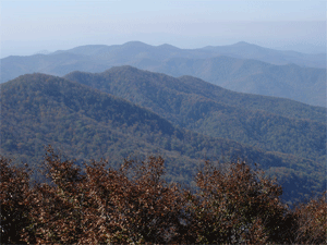
Brief Description: This is a long, invigorating climb on the AT from the Nantahala River to the top of Cheoah Bald, from which views should be awesome. Please call hike leaders to register as there are several possible mutations for this outing: descend on the Bartram Trail, camp overnight on top, continue on to Stecoah Gap, etc.
Length: 16.2 miles (tentative)
Difficulty Rating: Extremely Strenuous
Elevation Gain: 3300 ft (1740' to 5062')
Hike Leader: Bill & Diana Ristom , (423) 476-2945
Trail Map
Elevation Profile of the Trail
Trailhead Access Map

Directions to the Trailhead: Follow US 19/74 to Wesser, NC at Nantahala Outdoor Center
Trail Description: Some would call it "grueling." :^)
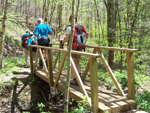
Post Trip Report: Completing this long trek were James Anderson, Rick and Brenda Harris, Randy Morris, Bill and Diana Ristom, and Jake.All approaches to the 5062-ft Cheoah Bald were covered this day. Three came in on the AT from the north (Stecoah Gap), the others starting at Wesser (NOC) and heading up from the south. All met on top and made the leisurely hike together down the scenic, and very-well-maintained, Bartram Trail (of which Cheoah Bald is the northern terminus). Thanks to our friends at the NC Bartram Trail Society forall the hard work.
A front having just passed through before this hike commenced, the airwas clear and cool making for grand vistas from the AT's ridgelines. Especially notable were views from the summit and from the bluff just south of Swim Bald, where the northbounders relished a long lunch. The near-perfect conditions followed us down along the Bartram Trail, where all enjoyed the many waterfalls, cascades and wildflowers.
Four dined at a Robbinsville eatery afterwards, then made the drive over the Cherohala Skyway in time to enjoy the fiery colors of sunset. That pretty much tied a ribbon around a perfect day of hiking.
Contact the Webmaster